
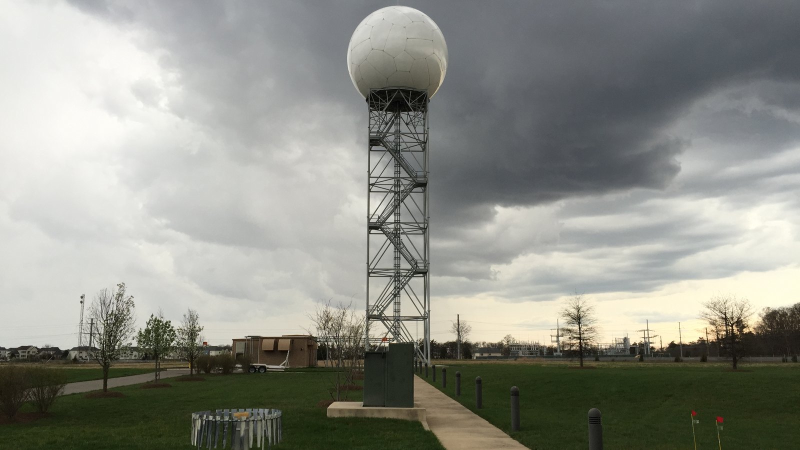
On November 20, 2026, the National Oceanic and Atmospheric Administration released an extensive archive of internal meteorological records, forecast office communications, and operational radar logs concerning the catastrophic July 4 flood disaster along the Guadalupe River. The federal disclosures detail critical warning timelines and upstream hydrologic observation gaps, reshaping congressional oversight for weather research reauthorization and dictating new priorities for university cooperative hydrologic modeling institutes.
Operational Logs and Warning Dissemination Records Released
The newly disclosed federal records encompass operational archives from the National Weather Service (NWS) Austin/San Antonio Weather Forecast Office and the West Gulf River Forecast Center. Released following public records requests and congressional inquiries into the fatal flash flooding that struck the Texas Hill Country on July 4, 2025, the release includes internal shift logs, Doppler radar diagnostic files, river forecast model inputs, and NWSChat transcripts generated during the disaster.
At the center of the disclosures is the formal evaluation published by the Department of Commerce Office of Inspector General in Report No. OIG-26-017-I, which reviewed NWS staffing allocations, warning dissemination protocols, and local coordination. The watchdog report documents how forecasters tracked the rapid escalation of a convective complex over Kerr County, where localized rainfall rates exceeded 5 inches in an hour, producing surges along the Guadalupe River that claimed over 130 lives.
The release corresponds with emergency transcripts compiled by KSAT 12 Investigates, which revealed gaps in direct voice contact between regional meteorologists and local emergency managers. While automated alerts reached digital networks, direct phone outreach to county dispatchers faced prolonged delays during the overnight hours.
Warning Chronology and Hydrological Lead Times
The released operational data establish a precise chronological timeline of federal alerting actions leading up to the catastrophic river crests. NWS forecasters identified atmospheric instability and tropical moisture convergence early on July 3, issuing an initial Flood Watch at 1:18 PM CDT. However, localized convective cells rapidly outpaced baseline catchment projections.
| Timestamp (CDT) | Alert or Action Type | Target Area | Operational Details and Lead Time |
|---|---|---|---|
| July 3, 1:18 PM | Flood Watch | South-Central Texas | Issued for flash flood threat; extended at 7:58 PM through 7:00 AM July 4. |
| July 3, 11:41 PM | Flash Flood Warning | Central Bandera County | Issued for northward-tracking storm cells; 1 to 2 inches of initial rain. |
| July 4, 1:14 AM | Flash Flood Warning | NW Bandera and Central Kerr | Tagged as “Considerable” threat, triggering WEA alerts; 106-minute lead time for Hunt. |
| July 4, 1:15 AM | Telephone Notification | Bandera County | Forecaster phoned Bandera County Sheriff’s Office dispatch. |
| July 4, 3:38 AM | Telephone Outreach | Kerr County | WFO staff initiated repeated calls to Kerr County contacts; calls went unanswered. |
| July 4, 4:03 AM | Flash Flood Emergency | Hunt and Ingram Areas | Upgraded to “Catastrophic” threat and Particularly Dangerous Situation on radar data. |
| July 4, 4:32 AM | Telephone Contact | Kerr County Sheriff | WFO staff established voice contact with Kerr County Sheriff’s dispatch. |
| July 4, 5:10 AM | Peak River Crest | Hunt River Gauge | Guadalupe River surged 26 feet in 45 minutes to 37.52 feet; gauge destroyed. |
| July 4, 5:34 AM | Flash Flood Emergency | Kerrville and Center Point | Emergency boundary extended downstream along the Guadalupe River corridor. |
| July 4, 6:19 AM | Telephone Contact | Kerr County Coordinator | Direct voice contact established with Kerr County Emergency Management Coordinator. |
| July 4, 6:45 AM | Peak River Crest | Kerrville River Gauge | River crested at 37.48 feet; warning lead time was 26 minutes (39 minutes below target). |
A key finding in the OIG evaluation is the sharp divergence in warning lead times across neighboring communities. While upstream Hunt experienced an estimated warning lead time of 106 minutes—surpassing the NWS Government Performance and Results Act benchmark of 65 minutes—downstream Kerrville received only 26 minutes of advance warning, falling 39 minutes short of the agency’s performance goal.
Hydrometeorological Dynamics and Upstream Sensor Deficits
The meteorological logs document an extreme convective event driven by deep tropical moisture plumes interacting with a stalled mesoscale vortex along the Balcones Escarpment. Automated surface rain gauges recorded hyper-localized precipitation rates, including 5.22 inches of rain within a single hour near Hunt and cumulative storm totals reaching 10.65 inches.
A peer-reviewed post-event analysis published in Natural Hazards and Earth System Sciences evaluated the numerical performance of NOAA’s Quantitative Precipitation Forecasts and National Water Model (NWM) streamflow simulations during the flood. The study demonstrated that while radar from KEWX (Austin/San Antonio) and KDFX (Laughlin Air Force Base) captured high reflectivity aloft, hydrological routing algorithms failed to predict the rapid runoff acceleration in steep limestone terrain.
The records confirm that zero real-time streamgages existed upstream of Hunt along the South Fork of the Guadalupe River on July 4, 2025. Without upstream hydrometric data, numerical models could not verify discharge volume before the surge destroyed the gauge at Hunt. This structural deficit illustrates the operational limits analyzed in CASRAI’s guide on hazard map construction and boundary limitations, where static flood zones fail to capture hyper-concentrated overland flow. Research in Environmental Modelling & Software shows hydrodynamic model skill requires distributed real-time sensing rather than radar extrapolation alone.
Workforce Staffing Strains and Oversight Scrutiny
The released records shed light on operational staffing constraints within the National Weather Service during the summer of 2025. According to the OIG evaluation, the Austin/San Antonio WFO operated without a designated Warning Coordination Meteorologist (WCM) during the disaster. The position, mandated by Congress under the Weather Research and Forecasting Innovation Act of 2017 (15 U.S.C. 8545), had been vacant due to early retirements and federal hiring constraints, remaining unfilled until November 2025.
Similar staffing pressures affected the West Gulf River Forecast Center, where senior hydrologist departures constrained operational coverage. In formal technical comments, NOAA management defended office performance, noting that forecasters achieved an aggregate average warning lead time of 99.09 minutes across 43 regional flash flood events between July 2 and July 6, which agency leadership characterized as well above statutory goals.
However, the OIG disputed NOAA’s reliance on aggregated performance metrics, emphasizing that regional averages mask localized warning breakdowns where advance notice fell below federal standards. Concurrently, investigative reporting by The Texas Tribune on the Texas legislative committee findings examined emergency response breakdowns at youth camps like Camp Mystic, highlighting how delayed local notifications impaired evacuation decisions.
Implications for Atmospheric Researchers and Cooperative Institutes
The release of these detailed operational logs provides an empirical benchmark dataset for atmospheric scientists, civil engineers, and university research teams. Academic consortia funded through NOAA cooperative agreements—including the Cooperative Institute for Research to Operations in Hydrology (CIROH) led by the University of Alabama, alongside federal research facilities such as the NOAA Great Lakes Environmental Research Laboratory—can utilize the granular radar, streamflow, and communication records to calibrate next-generation predictive tools.
For researchers developing machine learning models for convective rainfall estimation and flood inundation mapping, the Texas dataset serves as a testbed for training algorithms to detect rapid runoff acceleration in ungauged basins. Research offices managing federal environmental awards must also ensure data management workflows adhere to established principles, such as the RDA FAIR Data Maturity Model, guaranteeing that observational datasets and numerical codebases remain discoverable and accessible across multi-agency platforms.
University research administrators must prepare for heightened accountability metrics in federal funding calls, as Congress reviews weather-to-operations programs to close communication bottlenecks between predictive models and local emergency responders.
Legislative Deadlines and Weather Infrastructure Upgrades Ahead
The public disclosure of these records accelerates legislative and administrative timelines for federal weather forecasting reform. The House Committee on Science, Space, and Technology has scheduled formal oversight hearings to review NWS workforce levels, retention incentives, and Doppler radar network sustainment under the upcoming Weather Research and Forecasting Innovation Reauthorization Act.
Statutory provisions under review include minimum staffing mandates for Warning Coordination Meteorologists across all 122 NWS forecast offices, alongside targeted appropriations to expand streamgage networks across high-risk terrain in “Flash Flood Alley.”
At the administrative level, the NOAA Office of Water Prediction is preparing to deploy Version 4.0 of the National Water Model into operational AWIPS workstations by late 2027. Academic researchers and institutional partners participating in experimental evaluation programs have until mid-2027 to submit operational feedback on the Warn-on-Forecast System for Flash Floods (WoFS-FLASH) algorithms, ensuring that future tools provide actionable advance notice before catastrophic waters begin to rise.
Sources
- Office of Inspector General, U.S. Department of Commerce: NWS Actions Relevant to the Catastrophic Flash Flood in Texas, checked 2026-11-20
- Copernicus Publications: Rise of the Guadalupe River – a multifaceted post event analysis of 4 July 2025, flood in Central Texas, checked 2026-11-20
- The Texas Tribune: Texas lawmakers issue final Camp Mystic investigative report, checked 2026-11-20
- KSAT 12: Kerr County releases thousands of records showing officials’ response to July 4 flooding, checked 2026-11-20


